Volumetric Surveys
Volumetric Surveys
Reliable stockpile, excavation and earthworks quantity calculations.
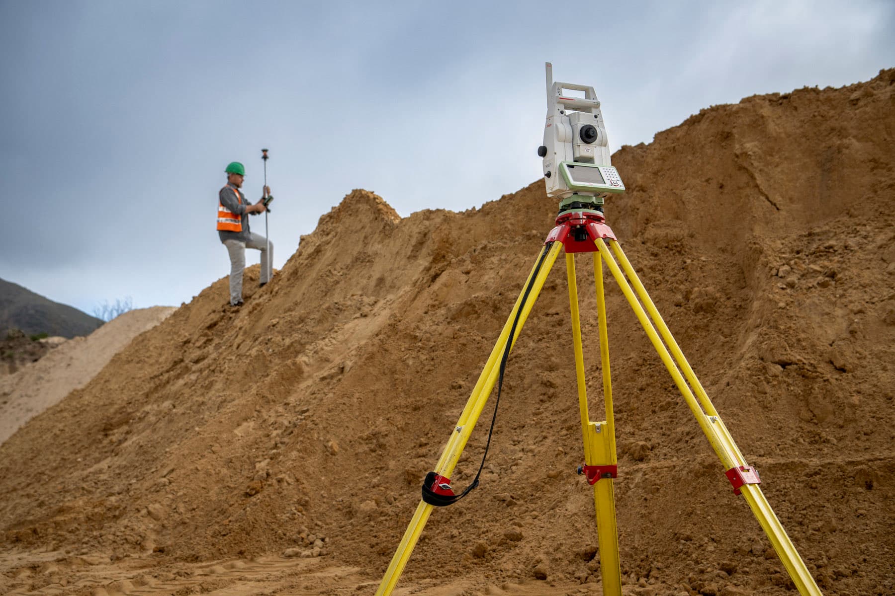
Accurate information for confident project decisions.
Volumetric survey work answers a commercial question: how much material has been moved, stockpiled or excavated — measured, not estimated.
GeoSurv focuses on producing clear, usable survey information that integrates with the workflows of engineers, architects, contractors and project teams.
How are stockpile volumes measured?
Stockpile volumes are measured by capturing the surface — by drone or ground survey — and comparing it against a base surface, giving a calculated quantity rather than an estimate.
Typical deliverables
- Stockpile volumes
- Excavation quantities
- Earthworks reporting
- Surface comparisons
- Periodic quantity surveys
Project-specific approach
Survey methodology, control, accuracy requirements and output formats are selected to suit the project scope. Send through drawings, site information or the deliverables you need, and we will define the appropriate survey approach.
Request a quote