Drone Surveying
Drone Surveying
Aerial mapping, orthophotos, terrain models and large-area survey capture.
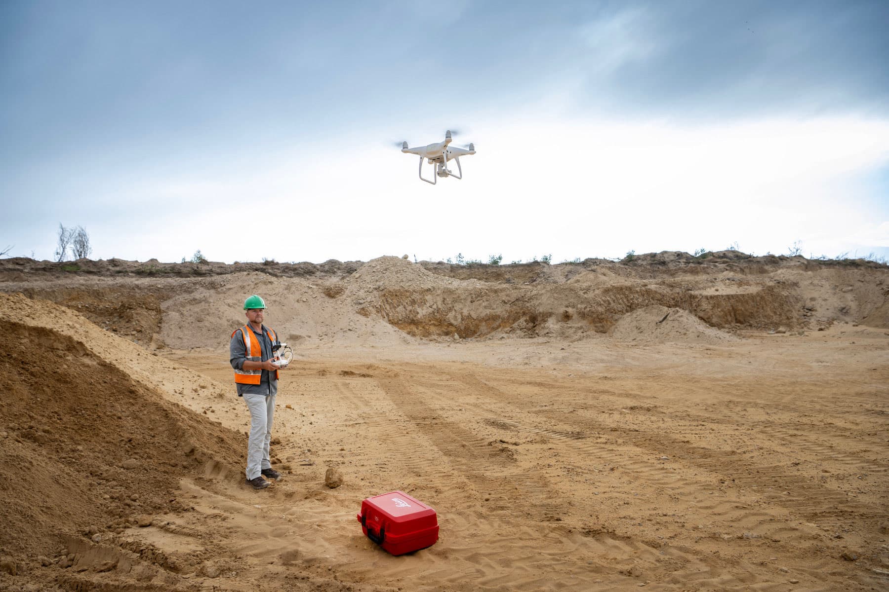
Accurate information for confident project decisions.
UAV capture covers ground quickly. For large or difficult sites it produces orthophotos and terrain information at a fraction of the time conventional methods would take.
GeoSurv focuses on producing clear, usable survey information that integrates with the workflows of engineers, architects, contractors and project teams.
When is drone surveying the right method?
Drone surveying suits large areas, open sites and repeat progress capture, producing orthophotos and terrain models far faster than ground methods where that accuracy is sufficient.
Typical deliverables
- Orthophoto mapping
- Digital terrain information
- Progress documentation
- Large-area mapping
- Volume support
Project-specific approach
Survey methodology, control, accuracy requirements and output formats are selected to suit the project scope. Send through drawings, site information or the deliverables you need, and we will define the appropriate survey approach.
Request a quote