GeoSurv services
Surveying & geospatial solutions
Accurate field measurement, advanced reality capture and practical deliverables for the built environment.
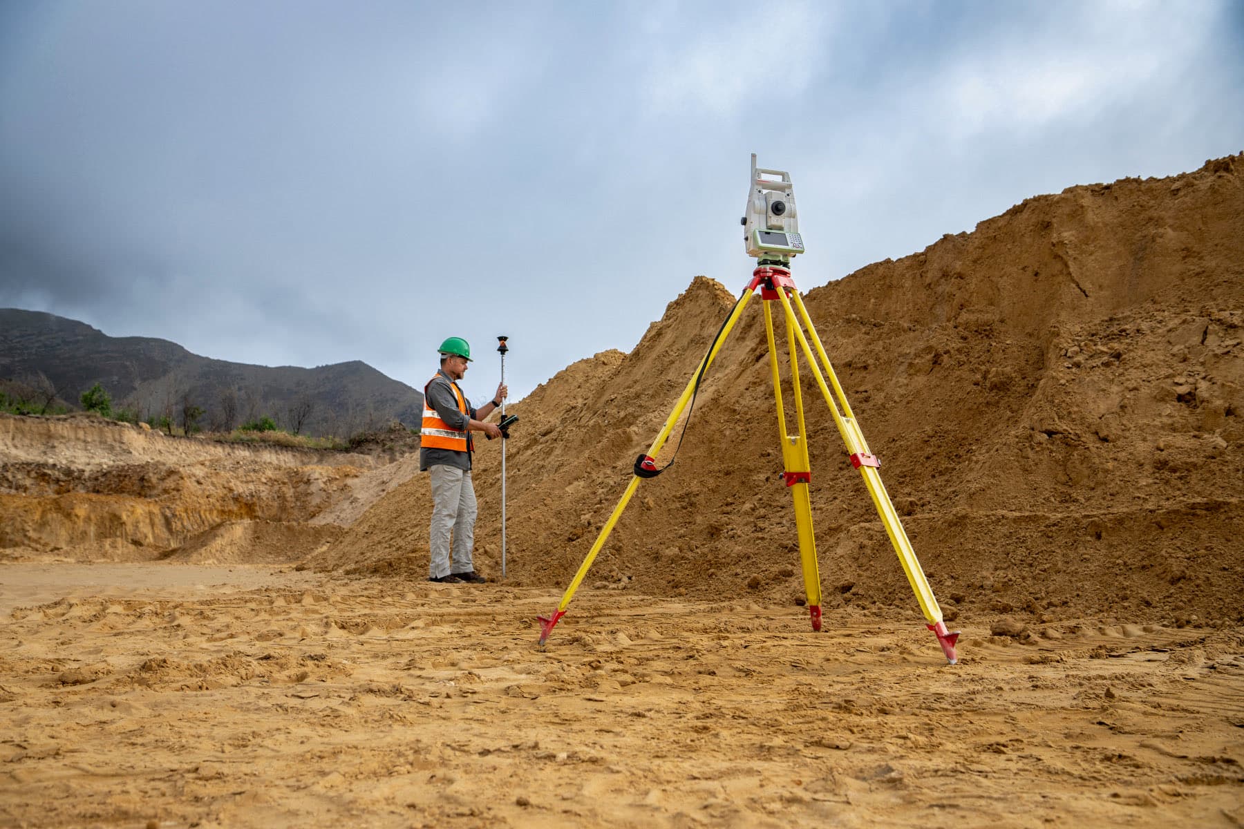
Topographical Surveys
Accurate terrain, feature and detail surveys for planning, design and development.
Engineering Surveys
Control, dimensional verification and survey support for engineering projects.
Construction Setting Out
Accurate transfer of design positions and levels to the construction site.
As-Built Surveys
Measured verification and documentation of completed construction.
3D Laser Scanning
High-definition terrestrial LiDAR capture for structures and complex environments.
Scan to BIM / Scan to CAD
Point-cloud conversion into coordinated CAD drawings and BIM-ready information.
Drone Surveying
Aerial mapping, orthophotos, terrain models and large-area survey capture.
Volumetric Surveys
Reliable stockpile, excavation and earthworks quantity calculations.
Ready to discuss your project?