About GeoSurv
Survey expertise backed by modern technology.
Engineering surveying and reality capture for construction and the built environment.
- Registered
- SAGC
- Established
- 2015
- Years founder experience
- 20+
- Field technology
- GNSS · LiDAR · UAV
GeoSurv (Pty) Ltd
Established in 2015, GeoSurv is an SAGC registered Engineering Surveying company based in Gordon's Bay and serving projects across the Western Cape and beyond.
The company was founded by Jaco Smit, who brings over 20 years of personal surveying experience to the work.
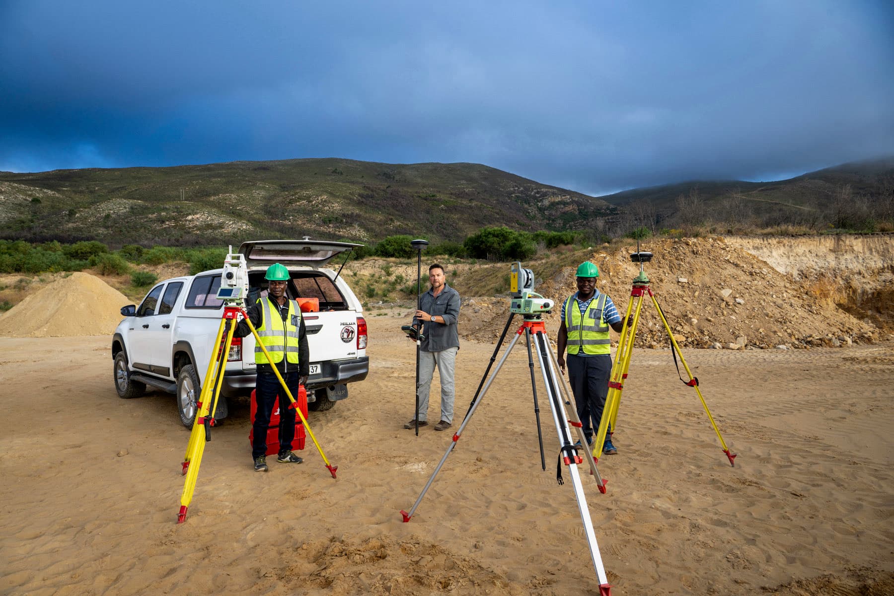
Our work combines conventional survey principles with GNSS, robotic total station, terrestrial laser scanning, drone mapping and CAD/BIM workflows.
We work with industry-leading equipment: a Trimble X7 laser scanner, Leica Geosystems GS18 T GNSS and TS13 robotic total station, and DJI drone platforms for aerial capture. See the full instrument list.
Who we work with
Engineers, architects, contractors, developers, municipalities, property owners and other professionals who need reliable spatial information.
- Engineers
- Architects
- Contractors
- Developers
- Municipalities
- Property owners
Ready to discuss your project?